
Lake District - Hiking Wainwrights – Walking Bowscale Fell and Bannerdale Crags from Mungrisdale – 04 April 2025
On 4th April 2025, I set out on a circular hike covering five Wainwrights in the Northern Fells. These were Souther Fell, Bannerdale Crags, Mungrisdale Common, Great Calva, and Bowscale Fell. I started and finished the route in Mungrisdale village. The full loop was 14.25 miles and took 9 hours and 10 minutes to complete.
Each fell offered different views and characters. Navigation required care, particularly on Mungrisdale Common. I relied on OS Map OL5. The experience was physically demanding but rewarding.
Souther Fell – 1,712 feet (522 metres) - Grid Reference - NY 35469 29132
Souther Fell lies east of Mungrisdale, forming the gentle south-eastern ridge of Blencathra. It’s easily accessed via a path that rises behind the village hall. The fell itself is grassy and broad, with a long undulating ridge that runs roughly north to south. Its modest height and gentle slopes make it one of the easier Wainwrights to ascend.
The summit is marked by a small cairn. Views are excellent in all directions, especially west to Blencathra and east to the Eden Valley. Souther Fell is known for a curious historical event. On Midsummer’s Day in 1745, villagers reported seeing troops, horses, and carriages moving along the ridge—later dubbed the “spectral army”. Despite multiple eyewitnesses, no evidence of an army was ever found.
It’s a straightforward start to the round. The grassy slopes offer little resistance and the gradient is mild. It made for a good warm-up before the steeper climbs to follow.
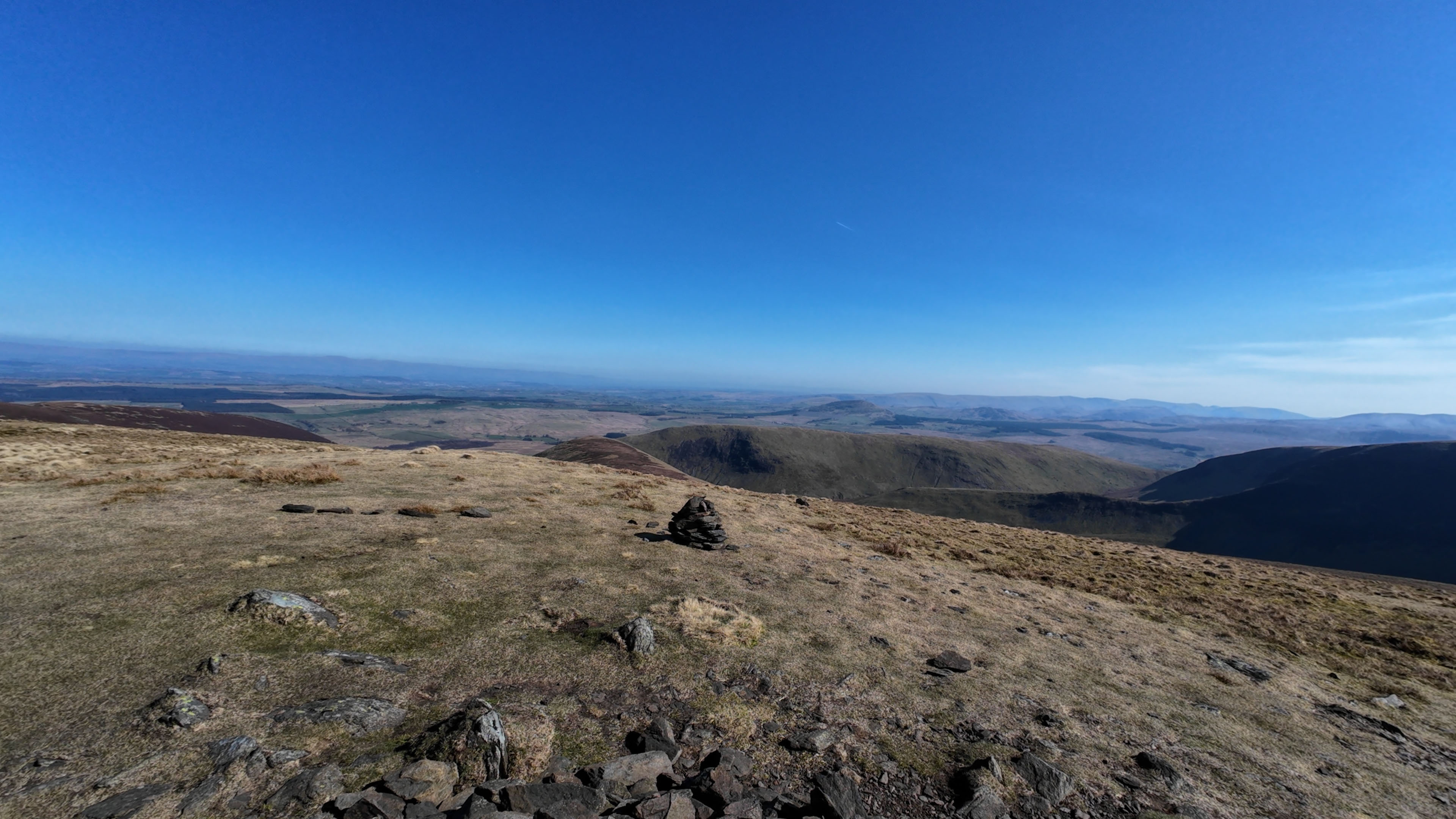
Bannerdale Crags – 2,241 feet (683 metres) - Grid Reference - NY 33528 29025
From Souther Fell, I descended slightly and crossed the Glenderamackin River before rising up the northwest shoulder of Bannerdale Crags. The fell is situated directly east of Blencathra and forms part of the corrie that shapes the Bannerdale valley.
The summit ridge of Bannerdale Crags is narrow in parts, with a defined cairn marking the top. The crags on its southern face are steep and dramatic, dropping sharply into the Bannerdale bowl below. There are fine views of Sharp Edge on Blencathra from here, especially with the light behind it.
Bannerdale Crags offers a different character compared to the grassy hills that precede it. Its exposed rock faces and sharper contours add drama to the route. The crags are best avoided in mist, as they fall away suddenly.
After taking in the view, I continued across the top of the ridge and headed west-north-west across a featureless plateau towards Mungrisdale Common.
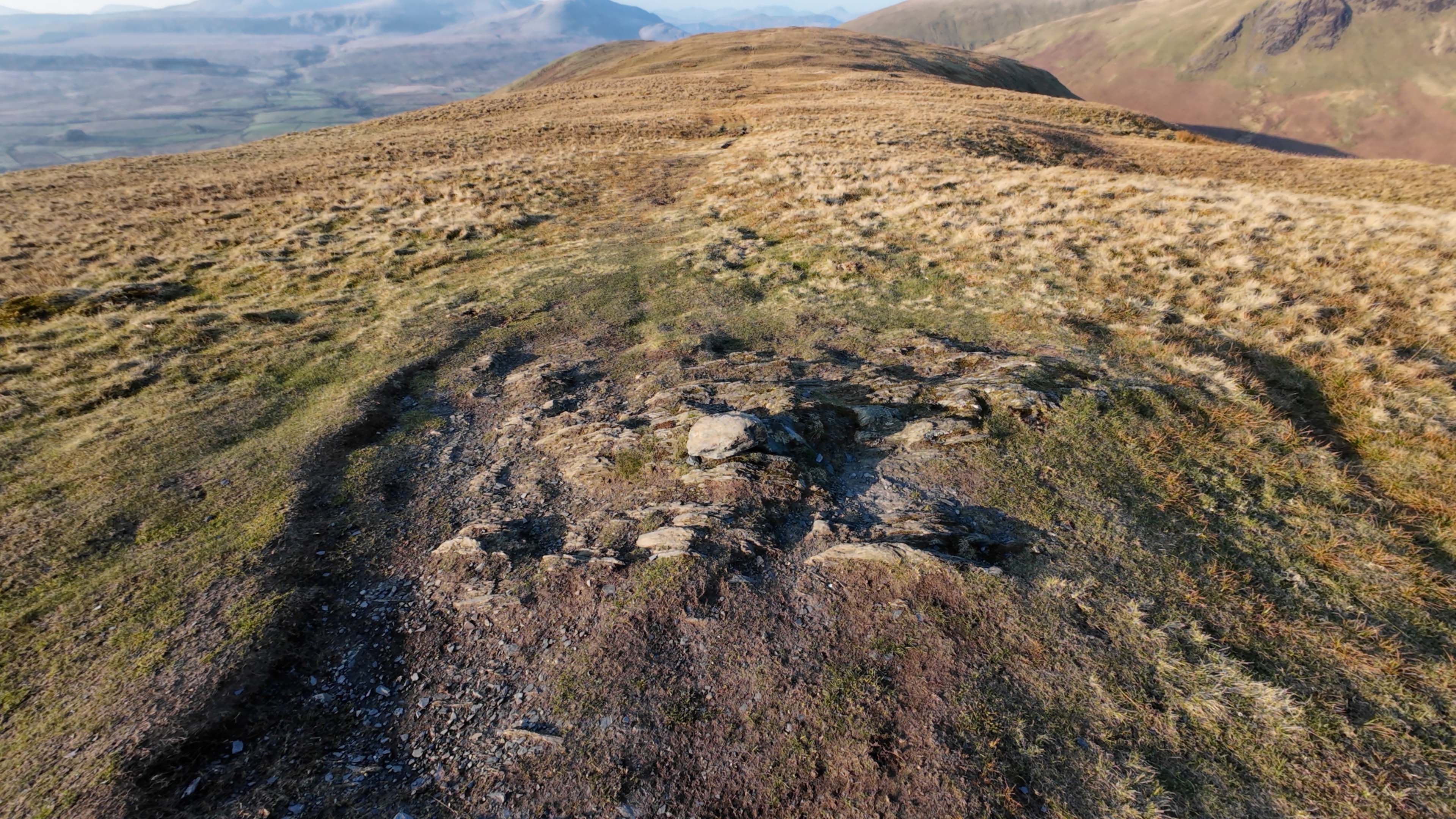
Mungrisdale Common – 2,086 feet (636 metres) - Grid Reference - NY 31053 29222
Mungrisdale Common sits north of Blencathra and west of Bannerdale Crags. It’s notorious among Wainwright-baggers for being unremarkable in both form and scenery. Wainwright himself described it as having “no more pretension to elegance than a pudding that has been sat on”.
That said, it does have a cairn, and it is a Wainwright, so it gets included. The top is flat and boggy, and in poor visibility, it’s easy to lose direction. Navigation is essential here.
Despite its reputation, the approach gave me time to reflect and recharge. The area was peaceful, with only the sound of wind and birds. Its solitude has its own appeal.
From the summit, I then headed towards Great Calva via Skiddow House youth hostel.
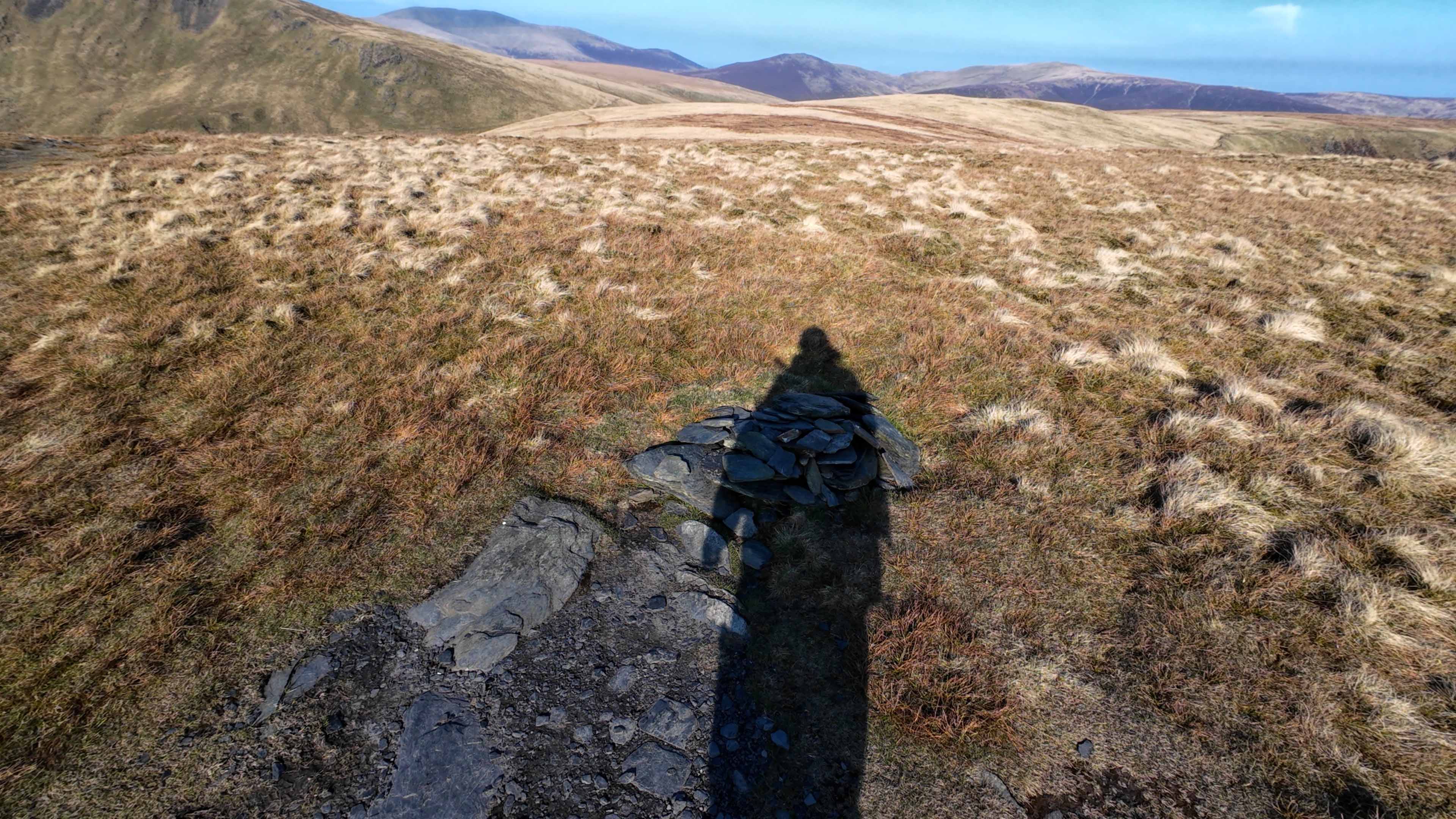
Great Calva – 2,265 feet (690 metres) - Grid Reference - NY 29088 31184
Great Calva stands north of Skiddaw Forest, isolated from the main groups of the Northern Fells. It’s a rounded dome from a distance, but steep in places, especially when climbing from the south-east.
The summit area is wide, marked by a nearby cairn.
Views from Great Calva are superb. To the west lies Knott and the back of Skiddaw. To the north-east, the Caldbeck Fells stretch away. Further north, on a clear day, you can just make out the Solway Firth.
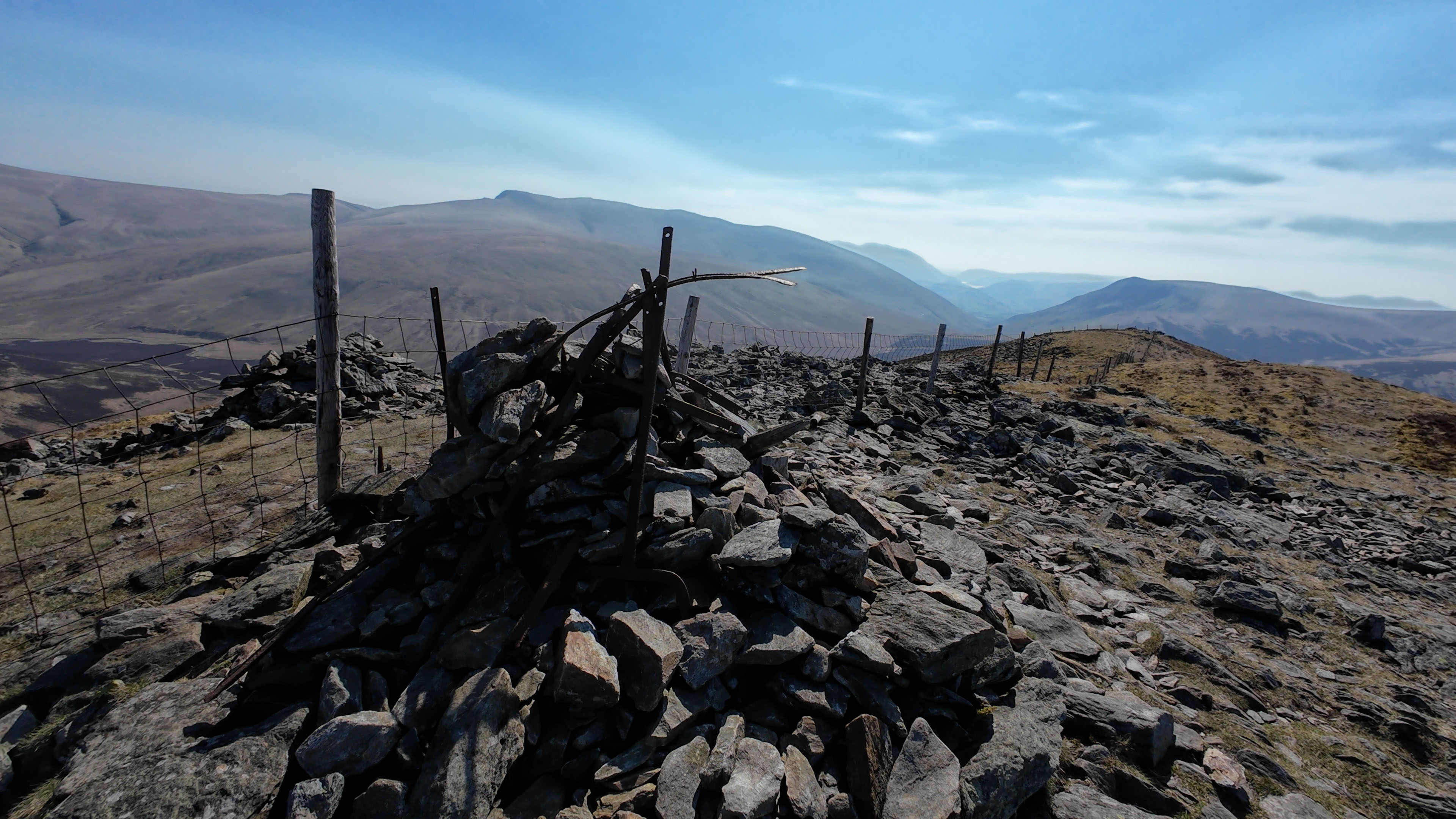
I followed the fence down the southern shoulder, which is grassy but grows increasingly rough with heather before picking up the Cumbria Way.
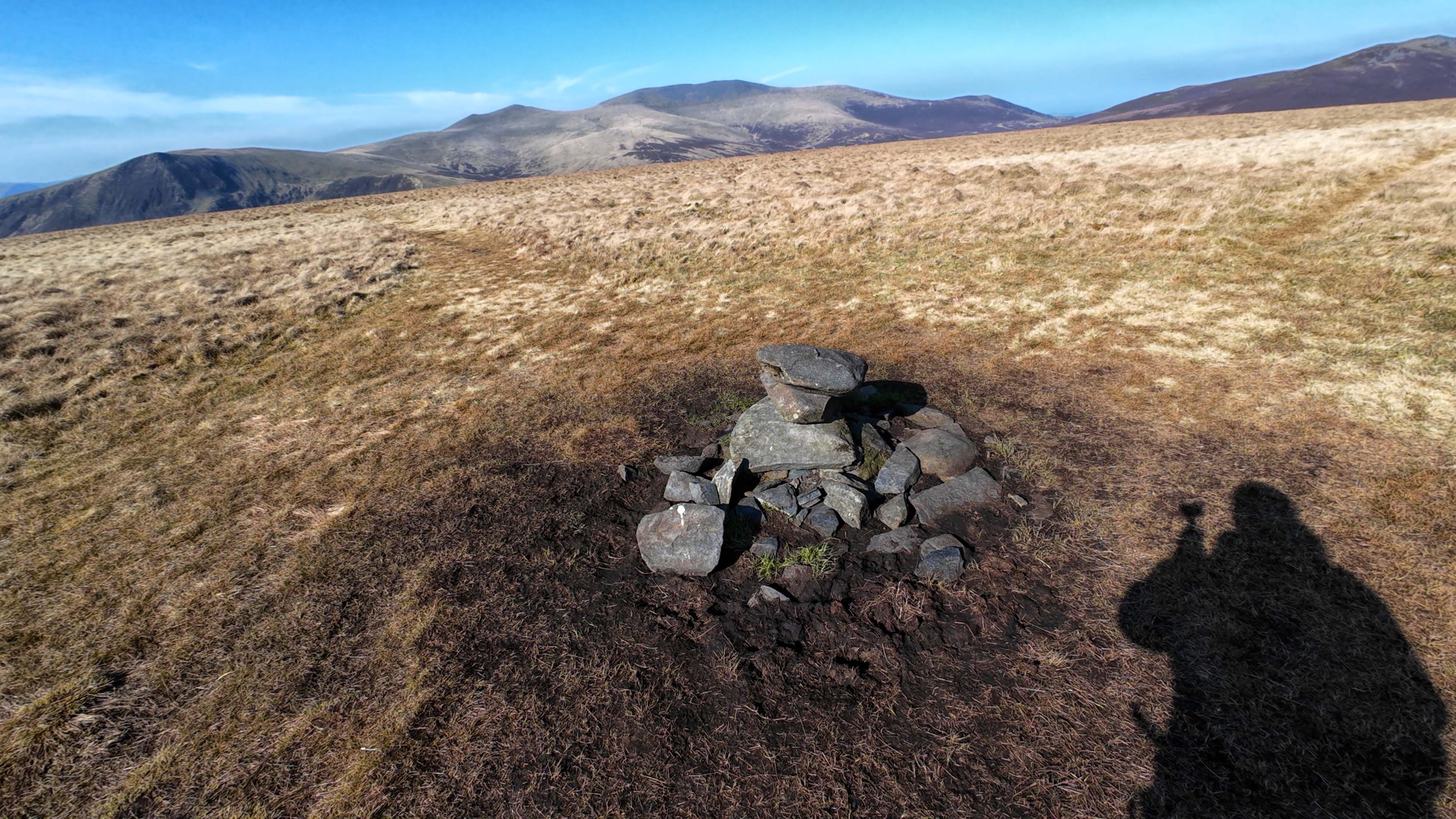
Bowscale Fell – 2,303 feet (702 metres) - Grid Reference - NY333305
Bowscale Fell lies to the east of Blencathra and Bannerdale Crags. It’s one of the higher fells in the Northern group, but it’s often overlooked due to its smoother shape.
The summit is broad, with a cairn and expansive views. From here, the distant Pennines stand out to the east. To the south, the full arc of Blencathra’s ridges dominates the skyline.
Below the southern slopes lies Bowscale Tarn, a corrie lake tucked into a steep bowl. It's hidden from view on the main route unless you take the detour. The tarn was once a Victorian tourist attraction and is said to be the home of immortal fish in local legend.
Bowscale Fell and Bannerdale Crags | Mungrisdale Hike
After reaching the top, I descended back to Mungrisdale via Raven Crags, this descent was steep in places and I found the path to be slippy at times even though the weather was fine.
It was a challenging hike and I did feel tired at times, whether this was due to the heat and wind or my legs were still tired after my last hike, but it was great fun.